Caption
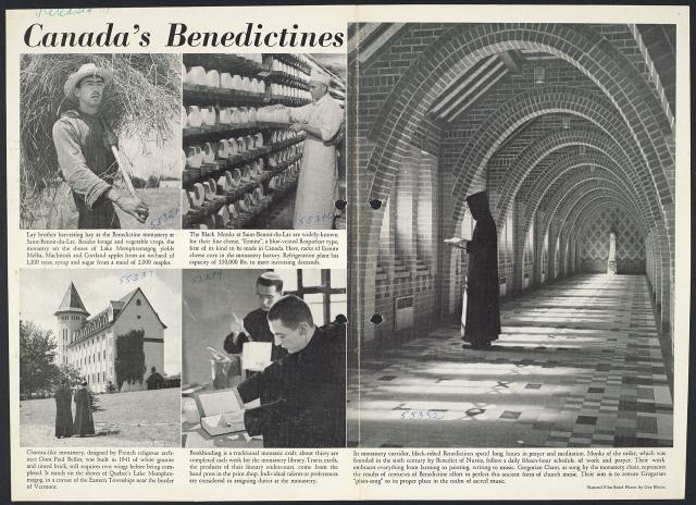
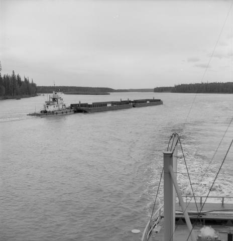
Specially designed, Canadian built, diesel powered tugs push barges loaded with sulphur up the Athabasca River.
Date
July 1, 1960
Accession Number
LAC-NFB93860
Materials
Black and white negative
Photographer
Enumber
e011177336
Collection
National Film Board of Canada
Credit Line
Library and Archives Canada, Mikan no. 205928
Caption
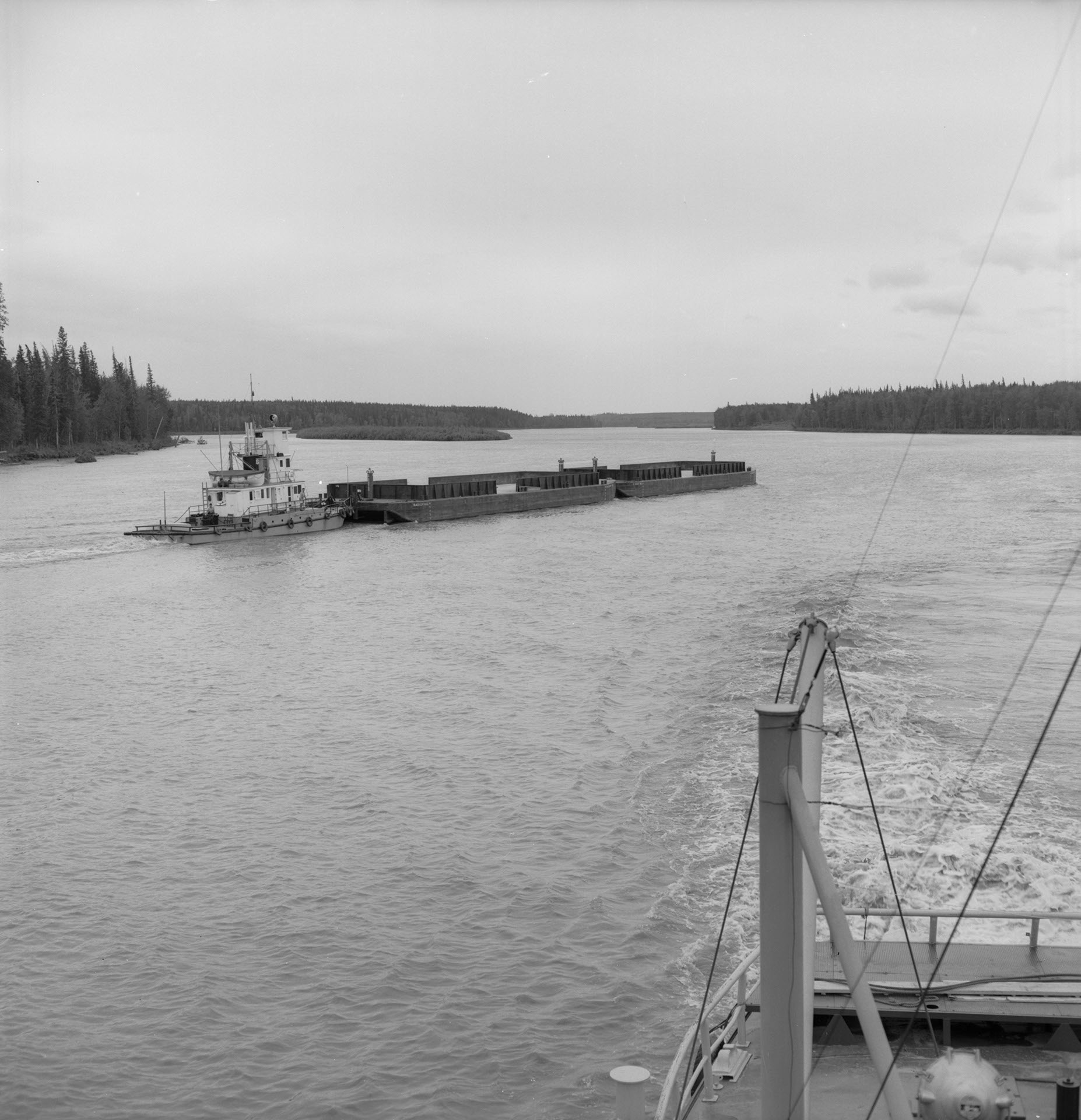
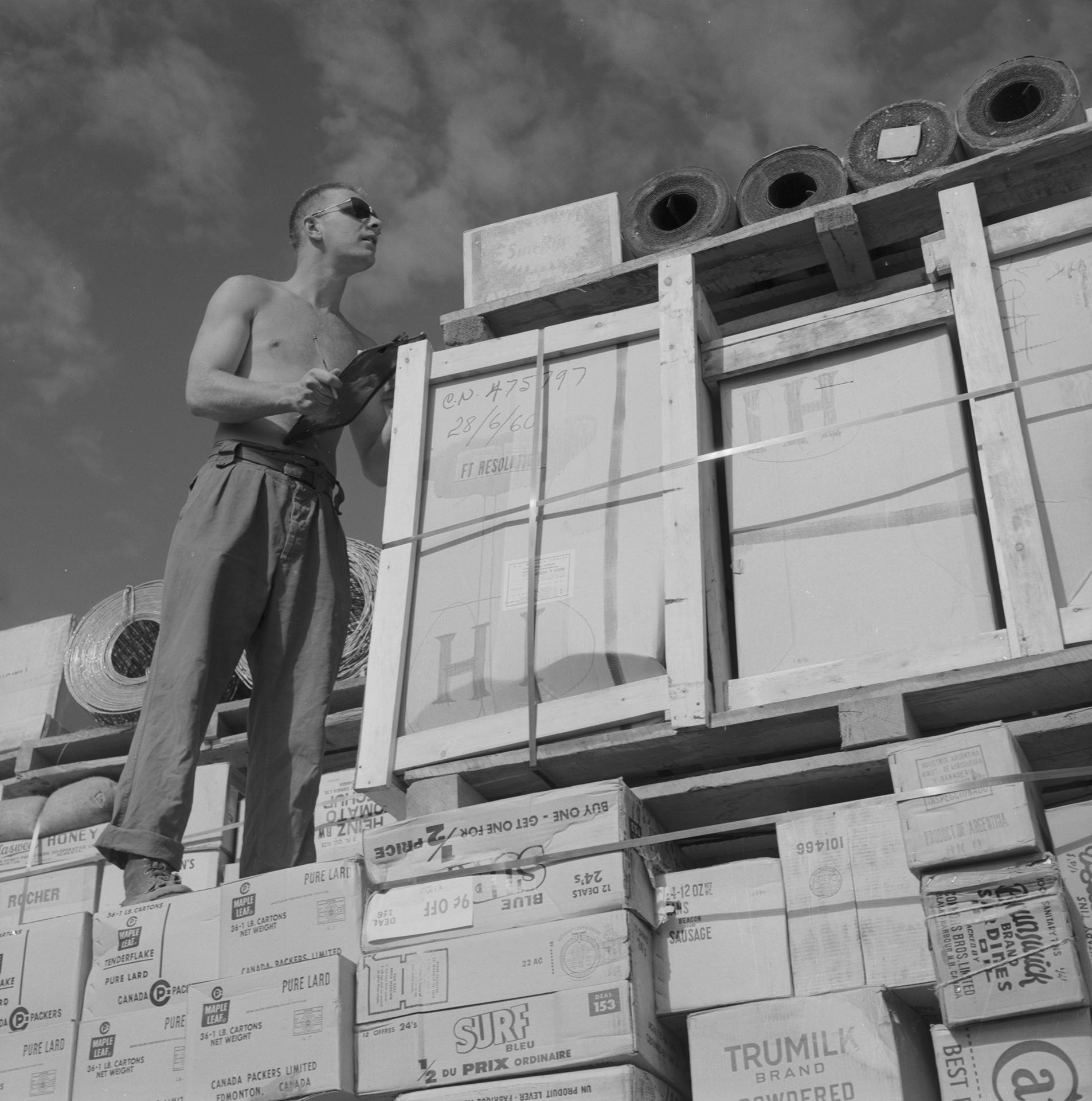
Following the route taken by early explorers of the great north, such as Mackenzie and the Hudson Bay Company fur traders, the Radium Prospector tows a barge large enough to carry what a hundred men had a hard time taking out of the north in years gone by. The northern fleet of tugs and barges played an important part in the construction of the DEW line and have been of tremendous help to the uranium and gold mining industries in what used to be regarded as desert land.
Date
July 1, 1960
Accession Number
LAC-NFB93857
Materials
Black and white negative
Photographer
Enumber
e011177334
Collection
National Film Board of Canada
Credit Line
Library and Archives Canada, Mikan no. 205928
Caption
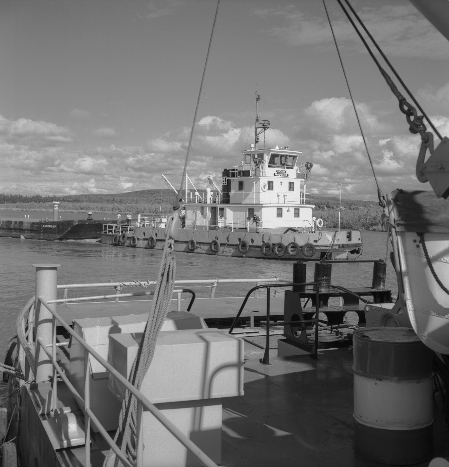
The navigation season on the Mackenzie River is short. The lakes and rivers of the north are not free of ice until the middle of May and by October they are blocked again. One factor which helps lengthen the navigation season is the "midnight sun", which makes it possible to work in daylight for nearly 24 hours at times.
Date
July 1, 1960
Accession Number
LAC-NFB93836
Materials
Black and white negative
Photographer
Enumber
e011177333
Collection
National Film Board of Canada
Credit Line
Library and Archives Canada, Mikan no. 205928

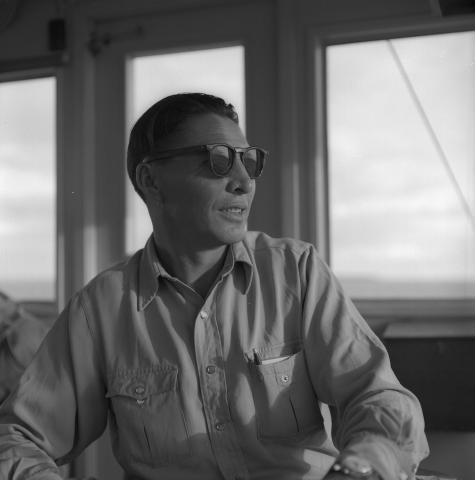
Caption
Captain Gilbert Auger in the wheel house of the Radium Trader, a 580 h.p., twin screw tug.
Date
July 1, 1960
Accession Number
LAC-NFB93865
Materials
Black and white negative
Photographer
Enumber
e011177337
Collection
National Film Board of Canada
Credit Line
Library and Archives Canada, Mikan no. 205928
Caption
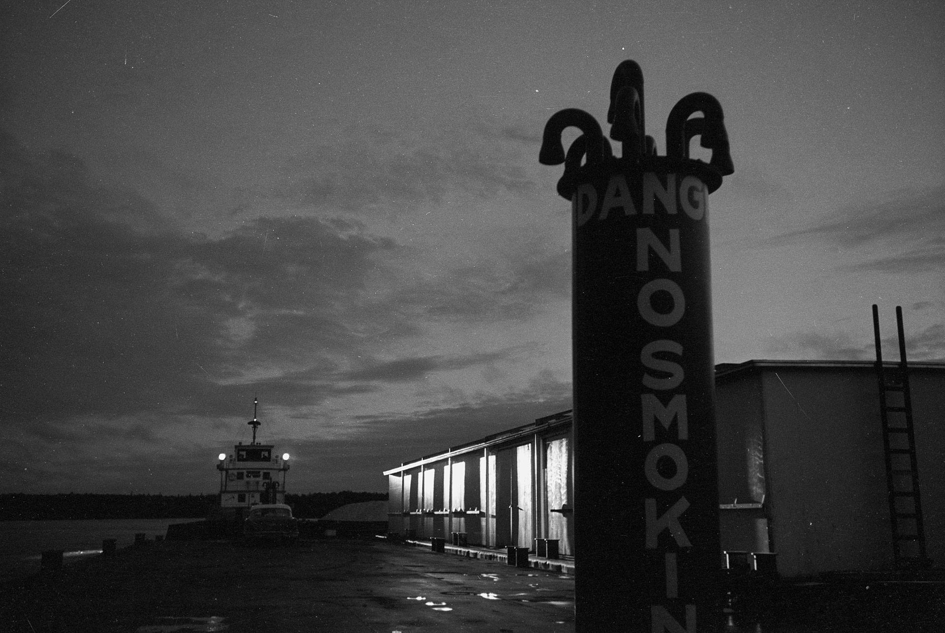
The barges are not used only to bring riches out of the north. They also service with goods of all kinds the numerous cities and villages located along the Mackenzie and its tributaries, along with some posts inside the Arctic circle.
Date
July 1, 1960
Accession Number
LAC-NFB93892
Materials
Black and white negative
Photographer
Enumber
e011177338
Collection
National Film Board of Canada
Credit Line
Library and Archives Canada, Mikan no. 205928
Caption
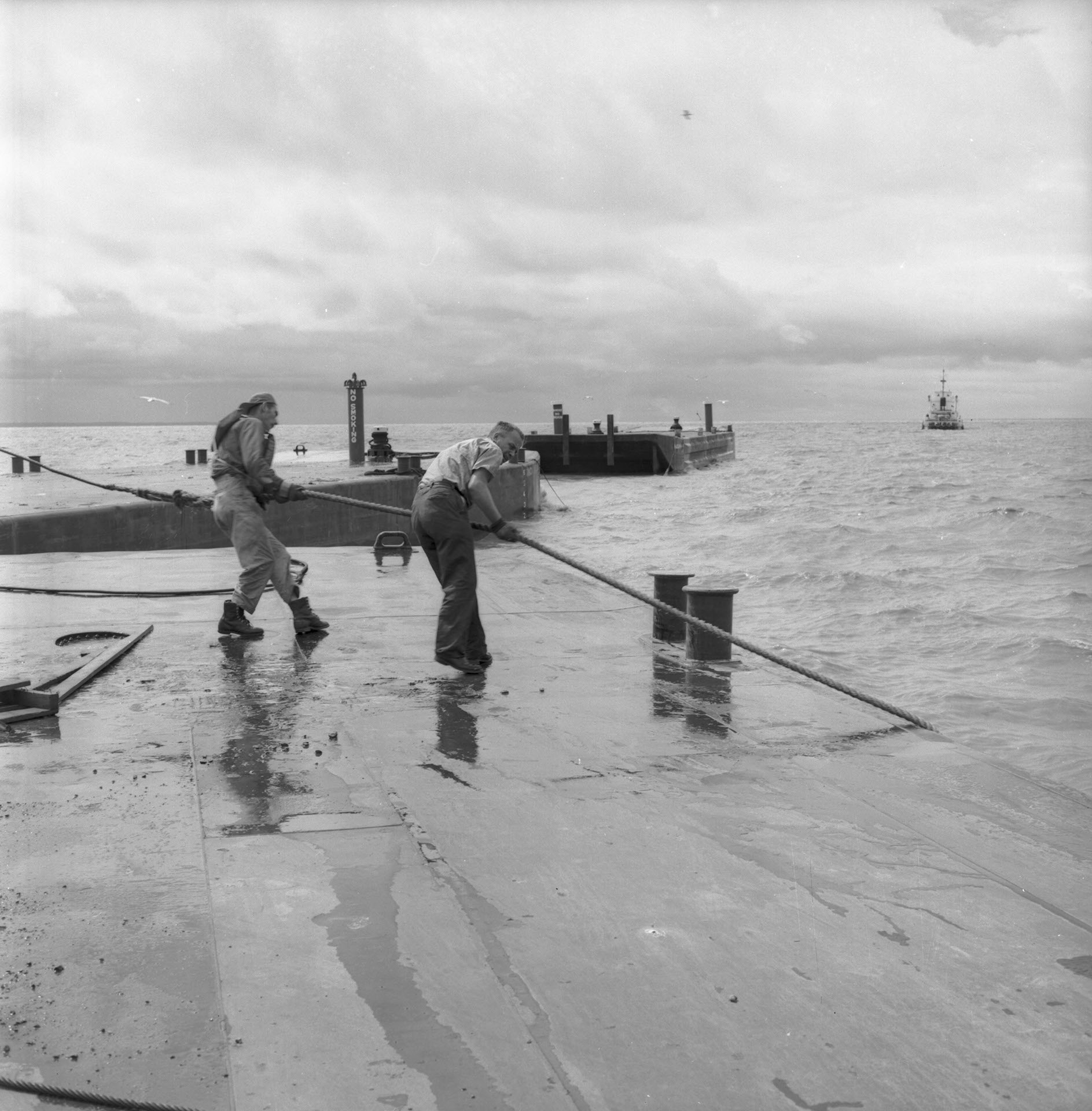
Bad weather in the greater lakes and shallow waters in the rivers are two major obstacles that have to be accounted for continuously. Here a barge train has to be assembled again after being broken up by high winds.
Date
July 1, 1960
Accession Number
LAC-NFB93858
Materials
Black and white negative
Photographer
Enumber
e011177335
Collection
National Film Board of Canada
Credit Line
Library and Archives Canada, Mikan no. 205928

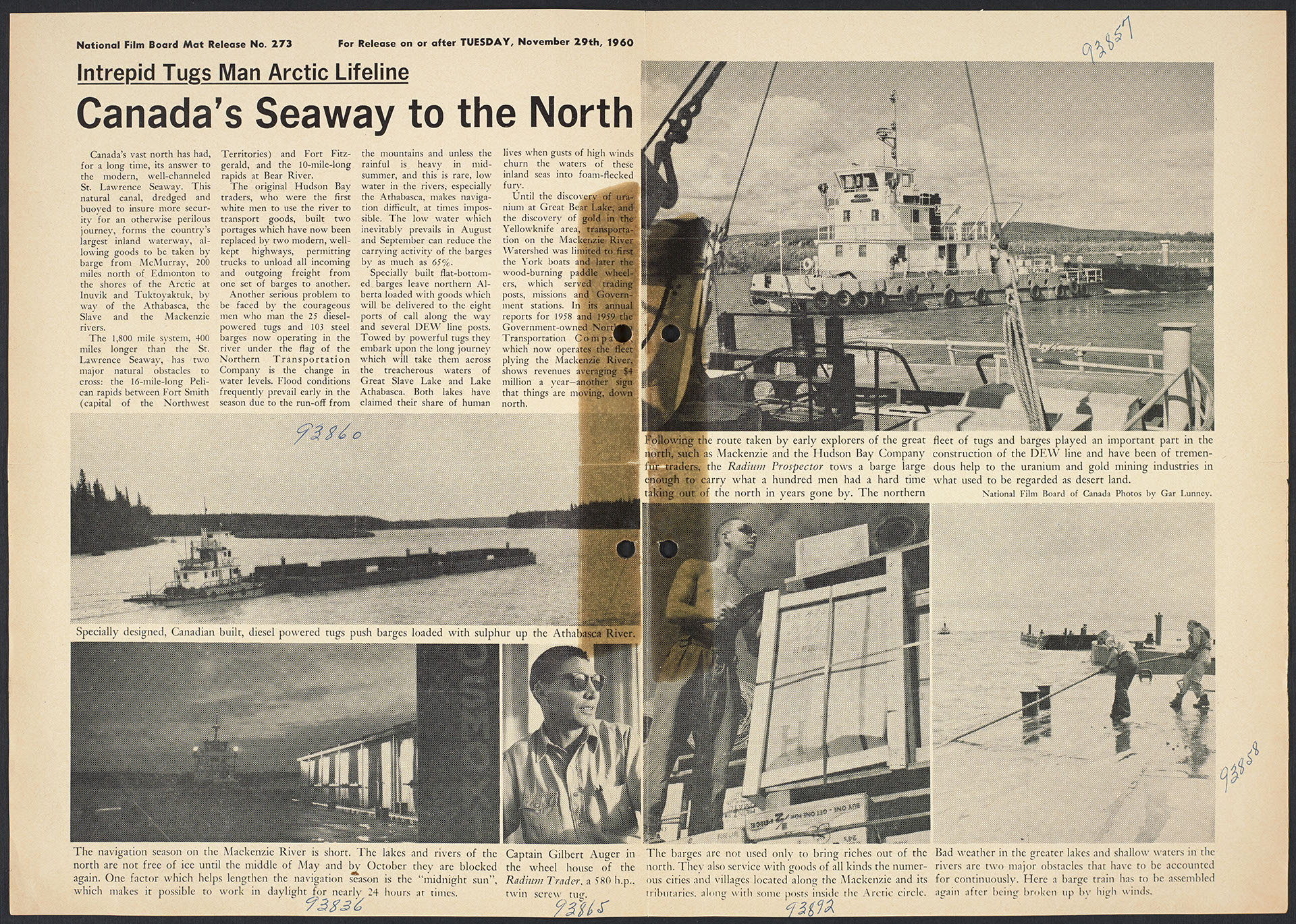


Photostory #273: Intrepid Tugs Man Arctic Lifeline: Canada's Seaway to the North
Photographers
Maker
National Film Board of Canada
Release Date
November 29, 1960
Collection
CMCP fonds
Credit Line
Canadian Museum of Contemporary Photography fonds, National Gallery of Canada Library and Archives
Main Text
Canada's vast north has had, for a long time, its answer to the modern, well-channeled St. Lawrence Seaway. This natural canal, dredged and buoyed to insure more security for an otherwise perilous journey, forms the country's largest inland waterway, allowing goods to be taken by barge from McMurray, 200 miles north of Edmonton to the shores of the Arctic at Inuvik and Tuktoyaktuk, by way of the Athabasca, the Slave and the Mackenzie. The 1,800 mile system, 400 miles longer than the St. Lawrence Seaway, has two major natural obstacles to cross: the 16-mile-long Pelican rapids between Fort Smith (capital of the Northwest Territories) and Fort Fitzgerald, and the 10-mile-long rapids at Bear River. The original Hudson Bay traders, who were the first white men to use the river to transport goods, built two portages which have now been replaced by two modern, well-kept highways, permitting trucks to unload all incoming and outgoing freight from one set of barges to another. Another serious problem to be faced by the courageous men who man the 25 diesel-powered tugs and 103 steel barges now operating in the river under the flag of the Northern Transportation Company is the change in water levels. Flood conditions frequently prevail early in the season due to the run-off from the mountains and unless the rainfall is heavy in mid-summer, and this is rare, low water in the rivers, especially the Athabasca, makes navigation difficult, at times impossible, The low water which inevitably prevails in August and September can reduce the carrying activity of the barges by as much as 65%. Specially built flat-bottomed barges leave northern Alberta loaded with goods which will be delivered to the eight ports of call along the way and several DEW line posts. Towed by powerful tugs they embark upon the long journey which will take them across the treacherous waters of Great Slave Lake and Lake Athabasca. Both lakes have claimed their share of human lives when gusts of high winds churn the waters of these inland seas into foam-flecked fury. Until the discovery of uranium at Great Bear Lake, and the discovery of gold in the Yellowknife area, transportation on the Mackenzie River Watershed was limited to first the York boats and later the wood-burning paddle wheelers, which served trading posts, missions and Government stations. In its annual reports for 1958 and 1959 the Government-owned Northern Transportation Company, which now operates the fleet plying the Mackenzie River, shows revenues averaging 14 million a year -- another sign that things are moving, down north.
Subjects:
Locations: