Caption
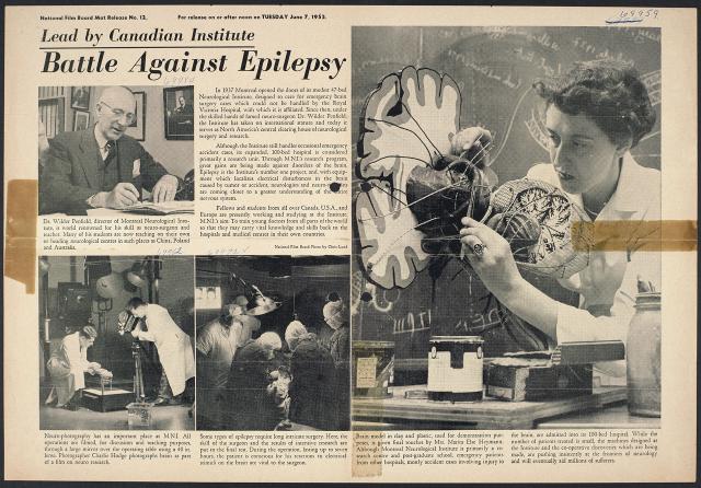
With his face-mask frozen in the extreme cold, Ralph Swinwood gets busy shovelling snow from outside cache.
Date
March 1, 1967
Accession Number
NFB67-3048
Materials
Black and white negative
Photographer
Collection
CMCP collection
Credit Line
© National Gallery of Canada, Ottawa
Caption
[no caption]
Date
March 1, 1967
Accession Number
NFB67-3059
Materials
Black and white negative
Photographer
Collection
CMCP collection
Credit Line
© National Gallery of Canada, Ottawa

Caption
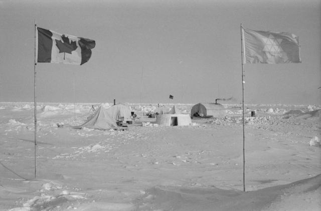
Far out on the permanently-frozen Arctic Ocean, 250 miles from land, the Canadian and Centennial flags fly alongside at Camp 200 - an outpost of the Polar Continental Shelf Project.
Date
March 1, 1967
Accession Number
NFB67-2973 [444B]
Materials
Black and white negative
Photographer
Collection
CMCP collection
Credit Line
© National Gallery of Canada, Ottawa

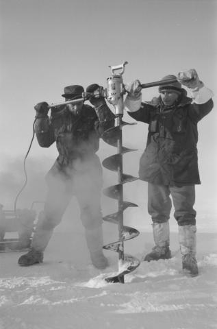
Caption
Below: Hole is drilled through ice for lowering heat probe to ocean floor.
Date
March 1, 1967
Accession Number
NFB67-2990
Materials
Black and white negative
Photographer
Collection
CMCP collection
Credit Line
© National Gallery of Canada, Ottawa
Caption
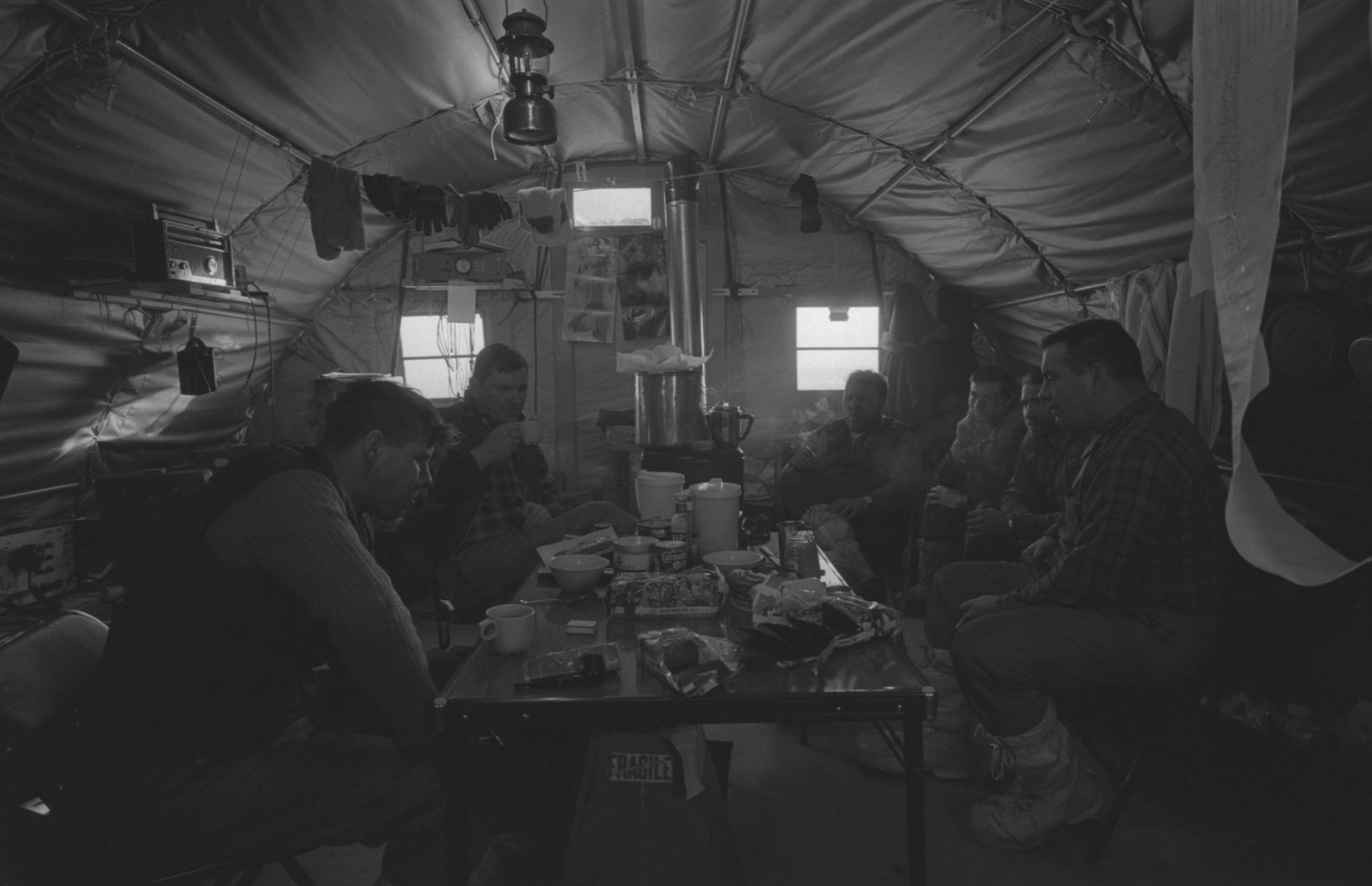
Seismic crew, above, at lonely outpost pause for lunch during blasting program.
Date
March 1, 1967
Accession Number
NFB67-3201
Materials
Black and white negative
Photographer
Collection
CMCP collection
Credit Line
© National Gallery of Canada, Ottawa

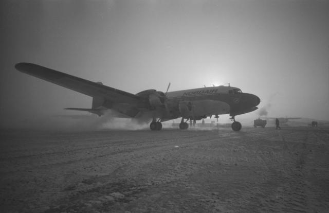
Caption
At left: Big freighter aircraft arrives at Mould Bay base camp.
Date
March 1, 1967
Accession Number
NFB67-3209
Materials
Black and white negative
Photographer
Collection
CMCP collection
Credit Line
© National Gallery of Canada, Ottawa
Caption
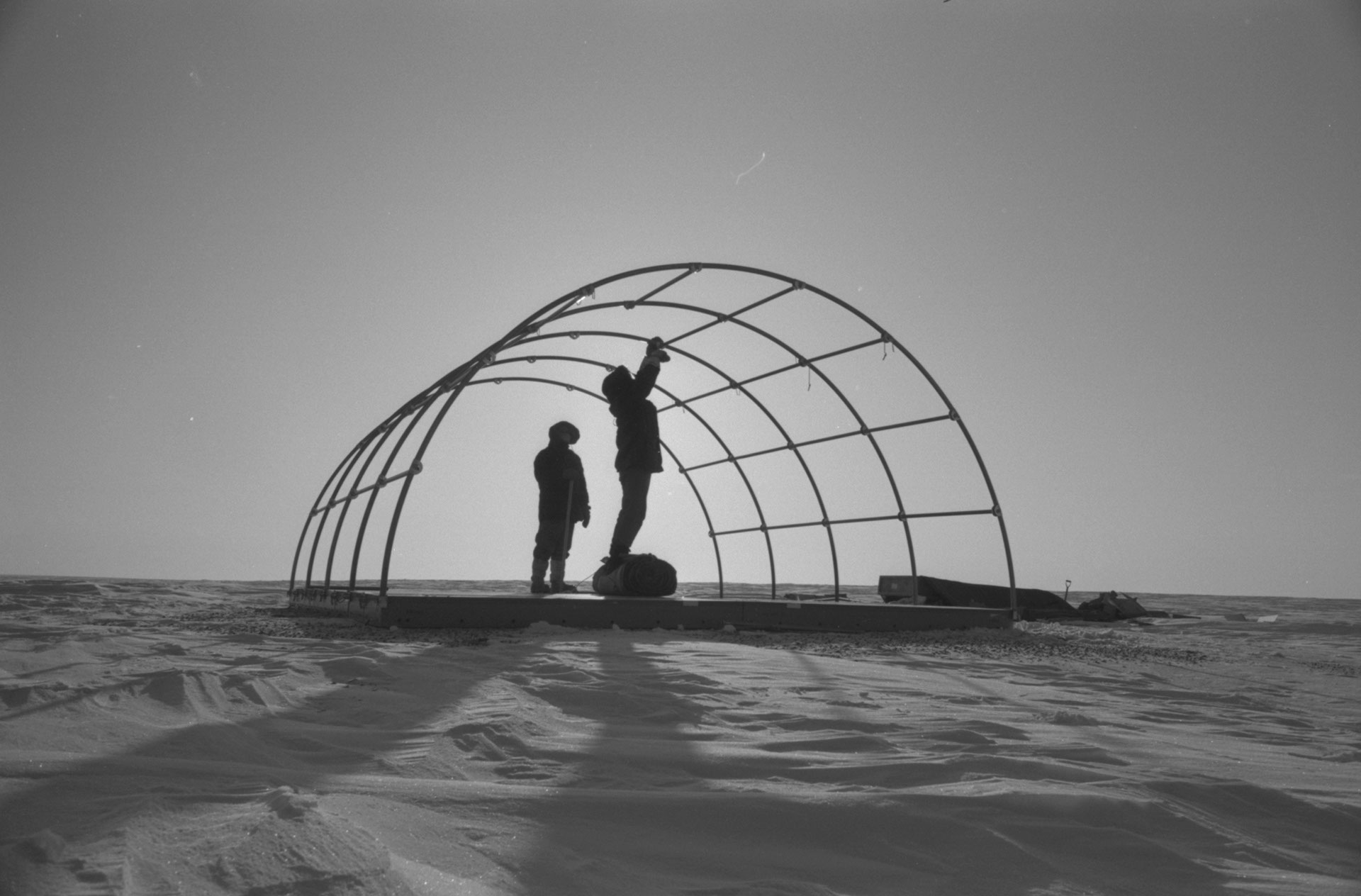
Below: Assembling Parcoll hut out on ocean is first step in establishing new scientific work camp.
Date
March 1, 1967
Accession Number
NFB67-3041
Materials
Black and white negative
Photographer
Collection
CMCP collection
Credit Line
© National Gallery of Canada, Ottawa


Photostory #444B: In Canada's High Arctic: Exploration 67
Photographers
Maker
National Film Board of Canada
Release Date
June 6, 1967
Collection
CMCP fonds
Credit Line
Canadian Museum of Contemporary Photography fonds, National Gallery of Canada Library and Archives
Main Text
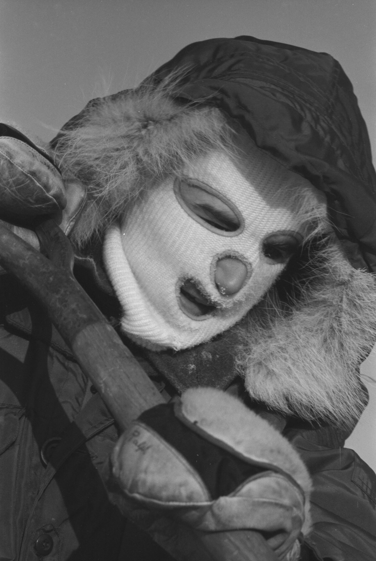
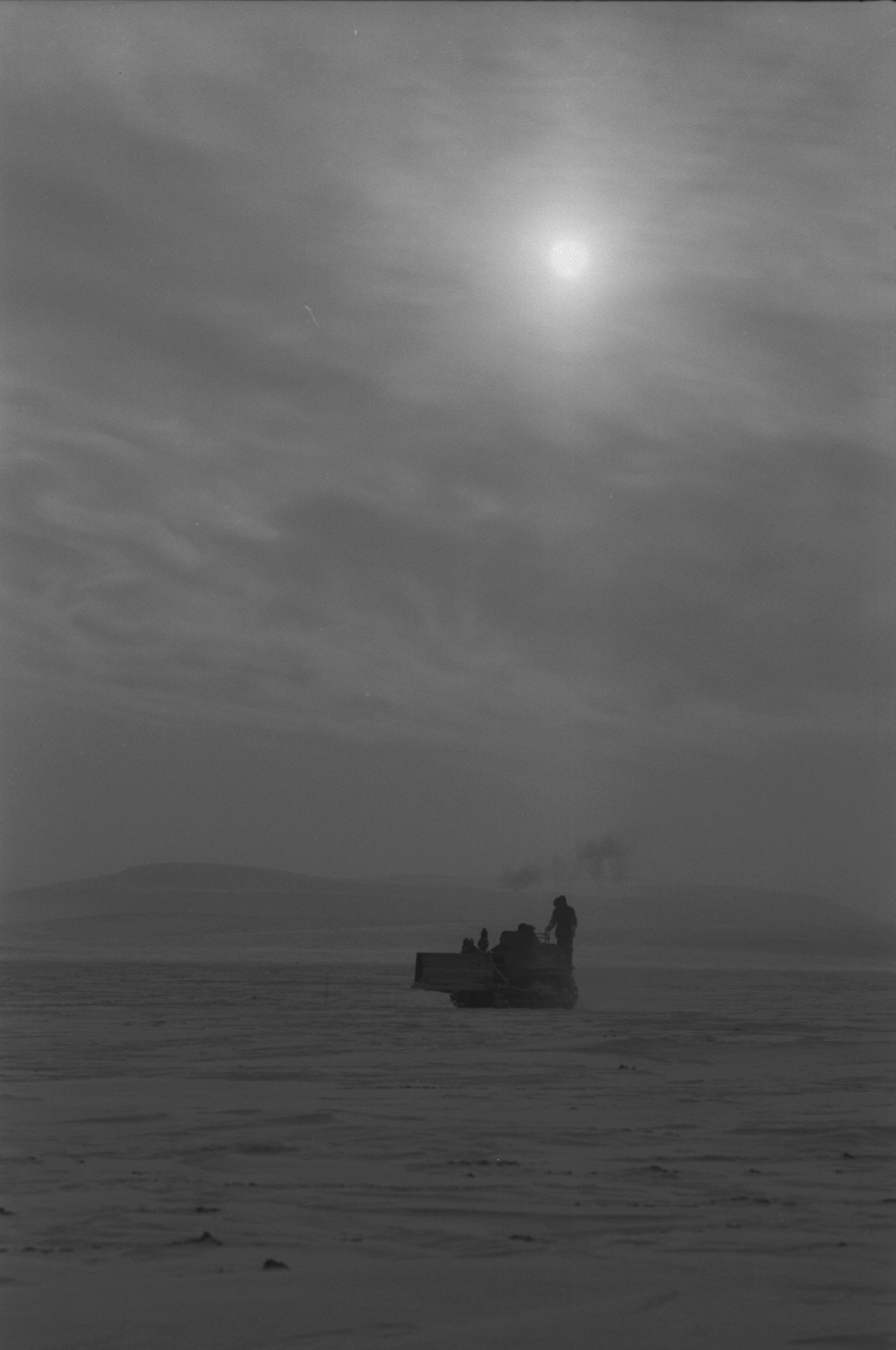
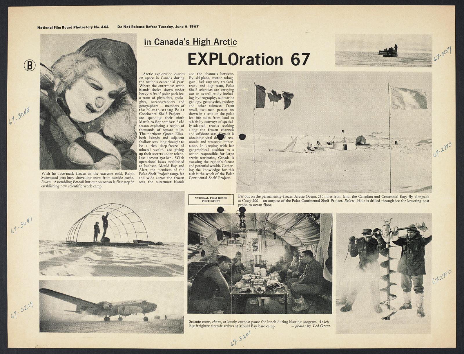
Arctic exploration carries on apace in Canada during the nation's centennial year. Where the outermost arctic islands shelve down under heavy rafts of polar pack ice, a team of physicists, geologists, oceanographers and geographers - members of the 70-man-strong Polar Continental Shelf Project - are spending their ninth March-to-September field season exploring a region of thousands of square miles. The northern Queen Elizabeth Islands and adjacent shallow seas, long thought to be a rich deep-freeze of mineral wealth, are giving up their secrets under relentless investigation. With operational bases established at Isachsen, Mould Bay and Alert, the members of the Polar Shelf Ice Project range far and wide across the frozen seas, the outermost islands and the channels between. By sky-plane, motor toboggan, helicopter, tracked-truck and dog team, Polar Shelf scientists are carrying out an overall study including hydrography, submarine geology, geophysics, geodesy and other sciences. From small, two-man parties set down in a tent on the polar ice 300 miles from land to safaris by convoys of specially-adapted trucks snaking along the frozen channels and offshore seas, Canada is obtaining vital data of economic and strategic importance. In keeping with her geographical position as a nation responsible for large arctic territories, Canada is assessing the region's future and potential wealth. Gathering the knowledge for this task is the work of the Polar Continental Shelf Project.
Subjects: